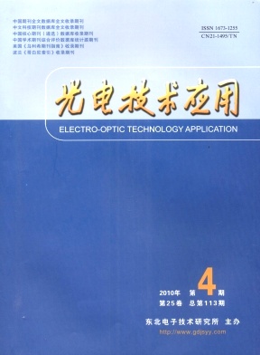
光电技术应用, 2010, 25 (4): 77, 网络出版: 2010-11-04
地球观测卫星遥感图像处理技术研究
Study of the Remote Sensing Image Processing Technology of Earth Observation Satellites
遥感技术 辐射校正 几何校正 遥感信息处理 地球观测卫星 remote sensing technology radiometric correction ceometric correction remote sensing information processing earth observation satellites
摘要
介绍了地球观测卫星的遥感图像数据的特征,分析了主要的遥感卫星及其测量原理,针对观测图像中辐射量失真、几何畸变、大气散色引起的失真等问题,分析研究了各种校正方法,并对遥感图像的应用技术发展趋势进行了展望.
Abstract
The remote sensing image characteristics are introduced, the remote sensing satellite and its major measuring principle are analyzed. Three correction methods have been studied for the problems of radiometric distortion, geometric distortion, and San color distortion caused by atmosphere. The prospect of the application of the remote sensing image is presented.
杨凯, 胡波. 地球观测卫星遥感图像处理技术研究[J]. 光电技术应用, 2010, 25(4): 77. YANG Kai, HU Bo. Study of the Remote Sensing Image Processing Technology of Earth Observation Satellites[J]. Electro-Optic Technology Application, 2010, 25(4): 77.


