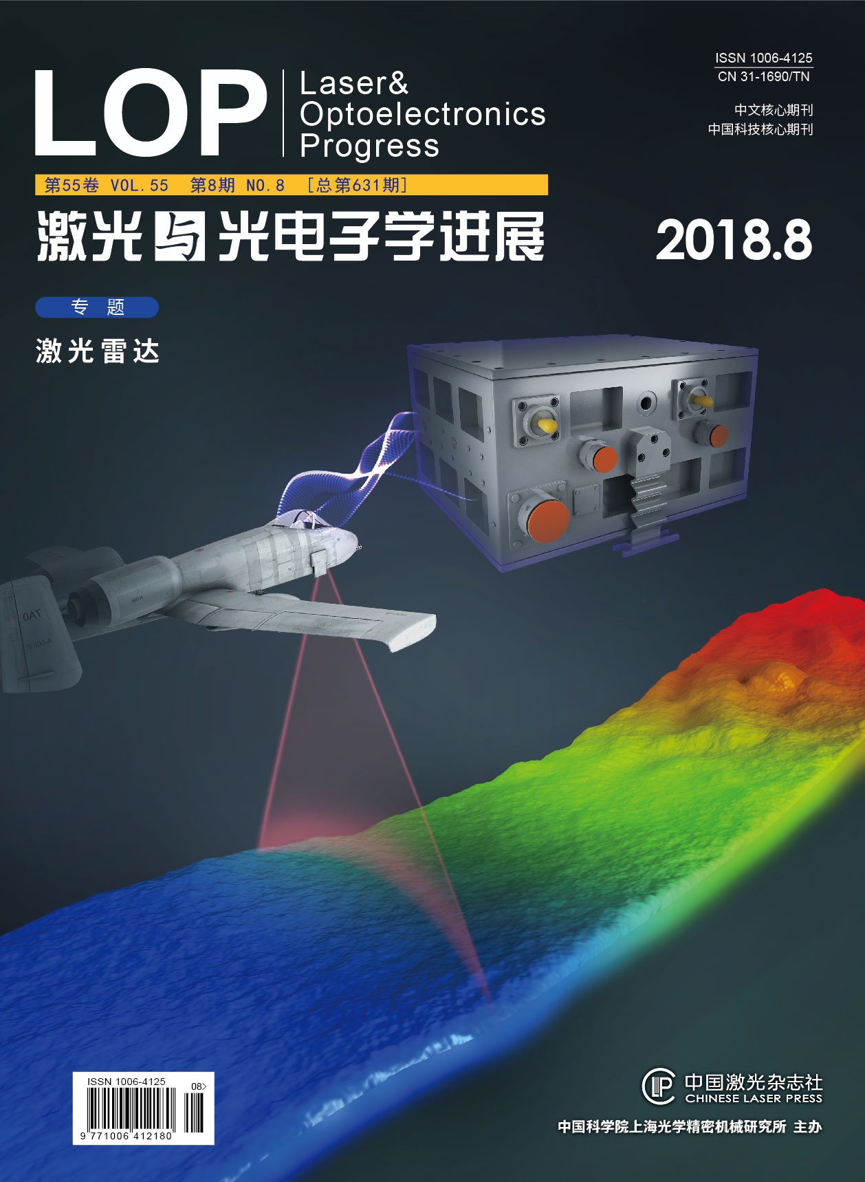
国产机载双频激光雷达对地定位精度评价  下载: 626次
[1] 彭琳, 刘焱雄, 邓才龙, 等. 机载激光测深系统试点应用研究[J]. 海洋测绘, 2014, 34(4): 35-37.
Peng L,Liu Y X,Deng C L, et al. Experiment of Airborne Laser Bathymetry[J]. Hydrographic Surveying and Charting, 2014, 34(4): 35-37.
[2] 王越. 机载激光浅海测深技术的现状和发展[J]. 测绘地理信息, 2014, 39(3): 38-42.
Wang Y.Current status and development of airborne laser bathymetry technology[J]. Journal of Geomatics, 2014, 39(3): 38-42.
[3] 翟国君, 吴太旗, 欧阳永忠, 等. 机载激光测深技术研究进展[J]. 海洋测绘, 2012, 32(2): 67-71.
Zhai G J, Wu T Q, Ouyang Y Z, et al. The development of airborne laser bathymetry[J]. Hydrographic Surveying and Charting, 2012, 32(2): 67-71.
[4] 边刚, 王琪, 肖付民, 等. 当前国际海道测量技术进展[J]. 海洋测绘, 2012, 32(4): 3-6.
Bian G, Wang Q, Xiao F M, et al. Progressing and prospect in the international hydrographic techniques[J]. Hydrographic Surveying and Charting, 2012, 32(4): 3-6.
[5] 汪权东, 陈卫标, 陆雨田, 等. 机载海洋激光测深系统参量设计与最大探测深度能力分析[J]. 光学学报, 2003, 23(10): 1255-1260.
[6] 姚春华, 陈卫标, 臧华国, 等. 机载激光测深系统的最小可探测深度研究[J]. 光学学报, 2004, 24(10): 1406-1410.
[7] 曲佳. 机载激光雷达点云数据精度分析与评价研究[D]. 西安: 长安大学, 2010: 28-29.
Qu J. Accuracy analysis and evaluation of airborne Lidar data[D]. Xi′an: Chang′an University, 2010: 28-29
[8] 张小红. 机载激光雷达测量技术理论与方法[M]. 武汉: 武汉大学出版社, 2007: 89-90.
Zhang X H. Airborne lidar measurement technology theory and methods[M]. Wuhan: Wuhan University Press, 2007: 89-90.
[9] 王圣尧. 机载激光雷达平面精度评价方法研究[J]. 测绘与空间地理信息, 2013, 36(7): 54-56.
Wang S Y. The horizontal accuracy assessment of airborne LiDAR data[J]. Geomatics & Spatial Information Technology, 2013, 36(7): 54-56.
[10] 李德仁, 胡庆武. 基于可测实景影像的空间信息服务[J]. 武汉大学学报(信息科学版), 2007, 32(5): 377-380.
Li D R, Hu Q W. Digital measurable image based geo-spatial information service[J]. Geomatics and Information Science of Wuhan University, 2007, 32(5): 377-380.
[11] Casella V,Spalla A.Estimation of planimetric accuracy of laser scanning data: proposal of a method exploiting ramps[J]. International Archives of Photogrammetry and Remote Sensing, 2000, 33(B3): 157-163.
[12] 王建军, 刘吉东. 影响机载激光扫描点云精度的测量误差因素分析及其影响大小排序[J]. 中国激光, 2014, 41(4): 0414001.
[13] 吴洪波, 蓝天, 张新,等. 机载平台振动对激光雷达激光束指向精度的影响[J]. 中国激光, 2015, 42(s1): s108001.
Wu H B,Lan T,Zhang X, et al. Effect of airborne LiDAR platform′s vibration on laser pointing accuracy[J]. Chinese Journal of Lasers, 2015, 42(s1):s108001.
[14] 贺岩, 田茂义, 吕德亮, 等. 机载双频激光雷达系统参数设计和性能分析[C]∥红外、遥感技术与应用研讨会暨交叉学科论, 江苏, 南京, 2015: 183-192.
He Y, Tian M Y, Lü D L, et al. Parameter Design and Performance Analysis of Airborne Dual-frequency Laser Radar System[C]∥Infrared, Remote Sensing Technology and Application Seminar and Interdisciplinary Forum, Nanjing, Jiangsu, 2015: 183-192.
[15] 官云兰, 程效军, 施贵刚. 一种稳健的点云数据平面拟合方法[J]. 同济大学学报(自然科学版), 2008, 36(7): 981-984.
Guan Y L, Cheng X J, Shi G G.A rubust method for fitting a plane to point clouds[J]. Journal of TongJi University (Natural Science), 2008, 36(7): 981-984.
[16] 中华人民共和国国家质量监督检验验疫总局, 中国国家标准化管理委员会.GB/T 14912-2005 1∶500 1∶1000 1∶2000外业数字测图技术规程[S]. 北京: 中国质检出版社, 2005.
General Admisistration of Quality Supervision, Inspection and Quarantine of the People′s Republic of China, Standardization Administration of the People′s Republic of China. GB/T 14912-2005 1∶500 1∶1000 1∶2000 Field Digital Mapping Technical Specifications[S]. Beijing: China Zhijian Publishing House, 2005.
田茂义, 曹岳飞, 俞家勇, 贺岩, 王延存, 王永星, 赵远超. 国产机载双频激光雷达对地定位精度评价[J]. 激光与光电子学进展, 2018, 55(8): 082807. Tian Maoyi, Cao Yuefei, Yu Jiayong, He Yan, Wang Yancun, Wang Yongxing, Zhao Yuanchao. Evaluation of Ground Positioning Accuracy for Domestic Airborne Dual-Frequency LiDAR[J]. Laser & Optoelectronics Progress, 2018, 55(8): 082807.


