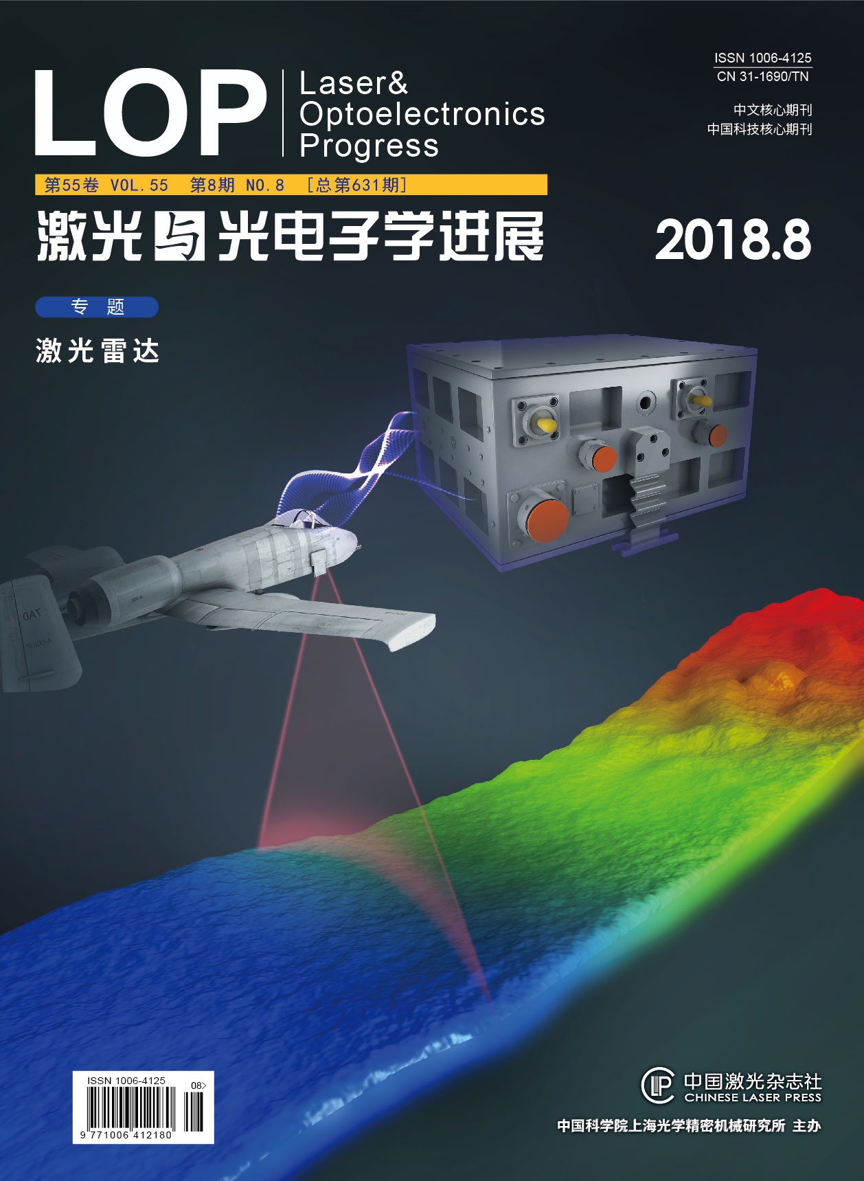
机载激光测深系统与船载移动测量系统数据配准方法研究  下载: 946次
[1] 赵建虎, 欧阳永忠, 王爱学. 海底地形测量技术现状及发展趋势[J]. 测绘学报, 2017, 46(10): 1786-1794.
Zhao J H, Ouyang Y Z, Wang A X. Status and development tendency for seafloor terrain measurement technology[J]. Acta Geodaetica et Cartographica Sinica, 2017, 46(10): 1786-1794.
[2] Steinvall O K, Koppari K R, Karlsson U C M. Airborne laser depth sounding: system aspects and performance[J]. Proceedings of SPIE, 1994, 2558: 392-412.
[3] Gaba S P. Underwater ranging[J]. Defence Science Journal, 2014, 34(1): 71-78.
[4] 贺岩, 田茂义, 吕德亮, 等. 机载双频激光雷达系统参数设计和性能分析[C]∥红外、遥感技术与应用研讨会暨交叉学科论坛, 江苏, 南京, 2015: 183-192.
He Y, Tian M Y, Lü D L, et al. Parameter design and performance analysis of airborne dual frequency laser radar system[C]∥Infrared and Remote Sensing Technology and Applications and Interdisciplinary Forum, Nanjing, Jiangsu, 2015: 183-192.
[5] Hu Y H, Min H, Zhao N X. Airborne and spaceborne laser sounding technology and applications[J]. Proceedings of SPIE, 2009, 7382: 73820A.
[6] Huang M T, Zhai G J, Xie X J, et al. The influence of carrier′s attitude and the position reduction in multibeam echosounding and airborne laser depth sounding[J]. Acta Geodaetica et Cartographica Sinica, 2000, 2(3): 77-88.
[7] 胡善江, 贺岩, 臧华国, 等. 新型机载激光测深系统及其飞行实验结果[J]. 中国激光, 2006, 33(9): 1163-1167.
[8] 任来平, 赵俊生, 翟国君, 等. 机载激光测深海面扫描轨迹计算与分析[J]. 武汉大学学报(信息科学版), 2002, 27(2): 138-142.
Ren L P, Zhao J S, Zhai G J, et al. Scanning-track computation and analysis for airborne laser depth sounding[J]. Geomatics and Information Science of Wuhan University, 2002, 27(2): 138-142.
[9] 樊妙, 孙毅, 邢喆, 等. 基于多源水深数据融合的海底高精度地形重建[J]. 海洋学报, 2017, 39(1): 130-137.
Fan M, Sun Y, Xing Z, et al. Bathymetry fusion techniques for high-resolution digital bathymetric modeling[J]. Haiyang Xuebao, 2017, 39(1): 130-137.
[10] 阳凡林, 吴自银, 独知行, 等. 多波束声纳和侧扫声纳数字信息的配准及融合[J]. 武汉大学学报(信息科学版), 2006, 31(8): 740-743.
Yang F L, Wu Z Y, Du Z X, et al. Co-registering and fusion of digital information of multi-beam sonar and side-scan sonar[J]. Geomatics and Information Science of Wuhan University, 2006, 31(8): 740-743.
[11] 刘经南, 赵建虎. 多波束测深系统的现状和发展趋势[J]. 海洋测绘, 2002, 22(5): 3-6.
Liu J N, Zhao J H. The present status and developing trend of the multibeam system[J]. Hydroaphic Surveying and Charting, 2002, 22(5): 3-6.
[12] Costa B M, Battista T A, Pittman S J. Comparative evaluation of airborne LiDAR and ship-based multibeam SoNAR bathymetry and intensity for mapping coral reef ecosystems[J]. Remote Sensing of Environment, 2009, 113(5): 1082-1100.
[13] Gall B L, Authemayou C, Ehrhold A, et al. LiDAR offshore structural mapping and U/Pb zircon/monazite dating of Variscan strain in the Leon metamorphic domain, NW Brittany[J]. Tectonophysics, 2014, 630: 236-250.
[14] Kennedy D M, Ierodiaconou D, Schimel A. Granitic coastal geomorphology: applying integrated terrestrial and bathymetric LiDAR with multibeam sonar to examine coastal landscape evolution[J]. Earth Surface Processes and Landforms, 2014, 39(12): 1663-1674.
[15] Schmauder G C, Kent G, Smith K D, et al. Reexamination of faulting in the Tahoe Basin using airborne LiDAR data and seismic CHIRP imagery[C]∥Fall Meeting of American Geophysical Union, 2011: S12A-05.
[16] Kaneko S, Kondo T, Miyamoto A. Robust matching of 3D contours using iterative closest point algorithm improved by M-estimation[J]. Pattern Recognition, 2003, 36(9): 2041-2047.
[17] Minguez J, Montesano L, Lamiraux F. Metric-based iterative closest point scan matching for sensor displacement estimation[J]. IEEE Transactions on Robotics, 2006, 22(5): 1047-1054.
[18] Zhu J, Du S, Yuan Z, et al. Robust affine iterative closest point algorithm with bidirectional distance[J]. IET Computer Vision, 2012, 6(3): 252-261.
[19] 曾繁轩, 李亮, 刁鑫鹏. 基于曲率特征的迭代最近点算法配准研究[J]. 激光与光电子学进展, 2017, 54(1): 011003.
[20] Zhu J H, Zheng N N, Yuan Z J, et al. Robust scaling iterative closest point algorithm with bidirectional distance measurement[J]. Electronics Letters, 2010, 46(24): 1604-1605.
[21] Du S Y, Zhu J H, Zheng N N, et al. Robust iterative closest point algorithm for registration of point sets with outliers[J]. Optical Engineering, 2011, 50(8): 087001.
[22] 张哲, 许宏丽, 尹辉. 一种基于关键点选择的快速点云配准算法[J]. 激光与光电子学进展, 2017, 54(12): 121002.
[23] 李仁忠, 杨曼, 田瑜, 等. 基于ISS特征点结合改进ICP的点云配准算法[J]. 激光与光电子学进展, 2017, 54(11): 111503.
[24] Peng K, Chen X, Zhou D, et al. 3-D reconstruction using image sequences based on projective depth and simplified iterative closest point[J]. Optical Engineering, 2012, 51(2): 021110.
田茂义, 王延存, 俞家勇, 贺岩, 曹岳飞, 吕德亮, 胡善江, 杨忠, 朱霞, 石先高. 机载激光测深系统与船载移动测量系统数据配准方法研究[J]. 激光与光电子学进展, 2018, 55(8): 082802. Tian Maoyi, Wang Yancun, Yu Jiayong, He Yan, Cao Yuefei, Lü Deliang, Hu Shanjiang, Yang Zhong, Zhu Xia, Shi Xiangao. Study on the Data Registration Method of Airborne Bathymetric LiDAR System and Ship-Based Mobile Measurement System[J]. Laser & Optoelectronics Progress, 2018, 55(8): 082802.


